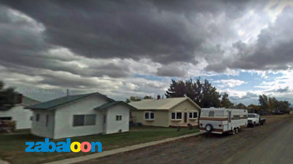
The mapping of cities with lenses that form 360° images began in 2007, in the United States, however, at that time, Google Maps – Street View vehicles had a camera with poor resolution. In some cases, it is impossible to decipher the recorded object.
The small town of Geraldine, in the state of Montana, with around 30 streets, provided work for the Google team. The internet giant sent its cars to the American city on three occasions: August 2008, June 2009 and October 2009. Unfortunately, all the mapped records are of low quality. In other words, "little is used".
The big question is: why didn't Street View – Google register Geraldine again? Nobody knows the answer. The fact is that 14 years have passed without any update of the earthly images of the small city that is located about 134 miles (or 220 km) from the division with the country of Canada.
It is important to emphasize that the most recent mapping carried out in Geraldine was in August 2023, however, this recent record only occurred along the MT-80 highway, that is, the Google Maps car did not drive through the city streets. It went straight!
Street View mapping list in Geraldine:
>> October 2009
>> June 2009
>> August 2008
..................
Zabaloon exclusive article
ID: z0001


